Grass mowing
Council mow more than 8 million square metres of open space areas every year. This includes parks, reserves, sports fields and some roadsides.
Grass ownership
Use our grass ownership map to see where Council is responsible for mowing. The areas will appear as you zoom in.
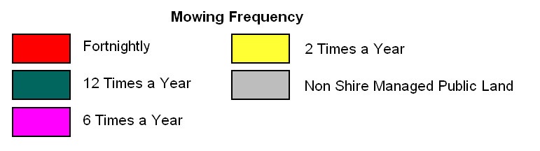
Grass mowing frequency
Use the search tool below or zoom in on an area to find information about the planned frequency of grass mowing. The map displays non-Shire managed land in grey.
Please note that the planned frequency of mowing will vary from time to time so please use this information as a guide. Heavy rain, flooding, total fire ban days and equipment repairs all impact our ability to mow certain areas in accordance with the planned frequency.
Report a concern
- First check that the area of concern is on Shire-managed (owned) land. Use our grass map to see who's responsible for land management in the area you wish to report.
- Once you’ve confirmed the area of concern is on Shire-owned land, use our online form to report an issue.
Report a Tree, Vegetation, or Grass Concern
For grassed areas that aren’t Shire managed, please contact the relevant authority. The Grass mowing map - Mornington Peninsula Shire provides information about the relevant management authority.